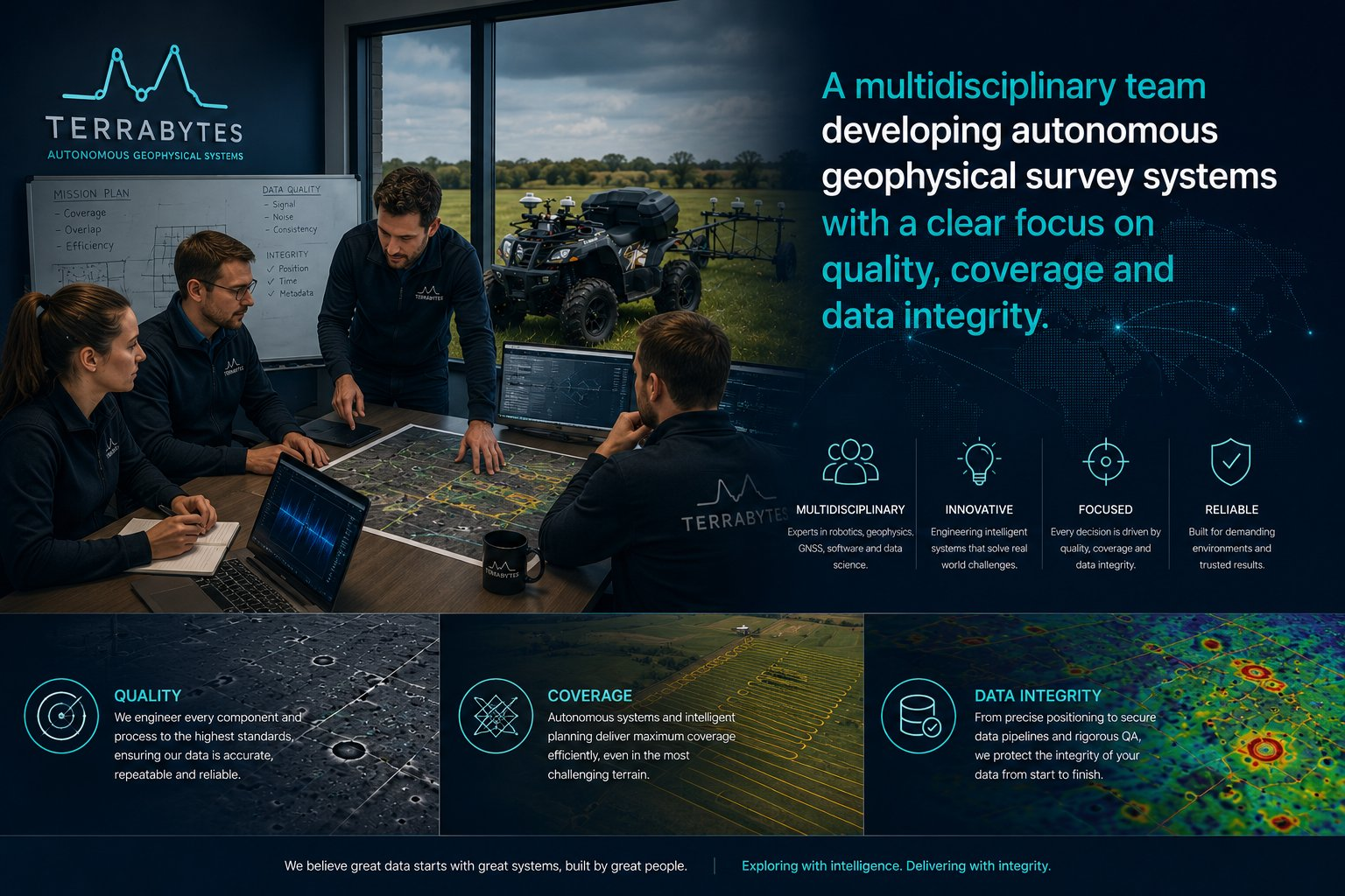
Specialist expertise, brought together
TerraBytes combines expertise in archaeological geophysics, field survey, robotics, automation, artificial intelligence and software engineering.
The team includes recognised specialists in archaeological survey, autonomous systems, industrial automation and geophysical data processing — bringing together expertise that is rarely found within a single organisation. This has enabled a survey platform that integrates autonomous acquisition, real-time monitoring, quality assurance and professional processing into a single end-to-end workflow.
Every component of the TerraBytes system has been developed with a single objective: the delivery of highly consistent, repeatable and professionally documented geophysical datasets.
Mission
To deliver a new standard of geophysical survey — combining machine-precision acquisition, live quality assurance and professional processing into a complete end-to-end service.
Built around data quality
By combining expertise across disciplines, TerraBytes has developed a practical solution to the challenges of large-scale geophysical survey: coverage consistency, positioning accuracy, instrument monitoring and quality assurance.
Geophysical survey
Practical knowledge of field acquisition, data quality, survey coverage and professional deliverables.
Robotics & automation
Autonomous navigation, repeatable machine control, live monitoring and reliable field operation.
Software & AI
Processing workflows, intelligent monitoring, quality assurance tools and structured data delivery.